Archaeological field survey in the territory assigned to LoNAP was preceded by the systematic examination of available cartographic sources and the analysis and interpretation of aerial and satellite imagery, in order to identify potential archaeological sites. Particularly useful were aerial photographs taken in 1955 by Hunting Aerial and now held by the British Institute for the Study of Iraq (BISI) and (especially) CORONA satellite images. The extreme usefulness of the CORONA images is due essentially to their age: although obsolete from a technological viewpoint and with mediocre definition, these were taken in the second half of the 1960s, when urban growth and mechanized intensive agriculture had not yet radically altered and in part obliterated the archaeological landscape. This intensive examination of remotely sensed images has led to the identification of numerous potential archaeological site (over 500), which were verified on the ground by means of field survey.
The vast size of the LoNAP study area (approximately 3000 sq. km) led us to adopt an extensive, mixed survey strategy, based on motor vehicle survey combined with pedestrian field-walking.
Intensive off-site field survey by means of transect walking will be used in the next field campaigns to intensively survey the upper part of the Zagros foothill rolling plains (500-700 m altitude belt), where the analysis of remotely sensed images has proven to be largely ineffective since site visibility is extremely low due to the countless low hillocks dotting the landscape which are often easily confused with archaeological mounds. Transect walking will be concentrated also in the environs of the largest and most continuously occupied sites, such as Ger-e-pan, Jerahiyeh, Tell Jamma Resh, Tell Gomel, Asingrian, Tell Amiyan and others with the aim of identifying the possible presence of sites not recognized through remotely-sensed imagery analysis or extensive survey, to register field scatters and more thoroughly explore ancient land and communications.
During survey, settlement sites and their boundaries were identified on the ground on the basis of three parameters: the presence of organic anthrosols, concentrations of archaeological finds and mounding. All surface ceramic collections and ground observations were recorded with a handheld Global Positioning System (GPS) receiver (Trimble Yuma Tablet) and integrated into a Geographic Information System (ArcGIS 10.1) spatial database. All settlements identified have been collected by means of full area coverage, using collection areas determined on the basis of topography. The corners and significant points on the boundaries of each unit have been visibly marked and their positions recorded via GPS in order to allow for the reconstruction of the site areas during different settlement occupation periods.
-

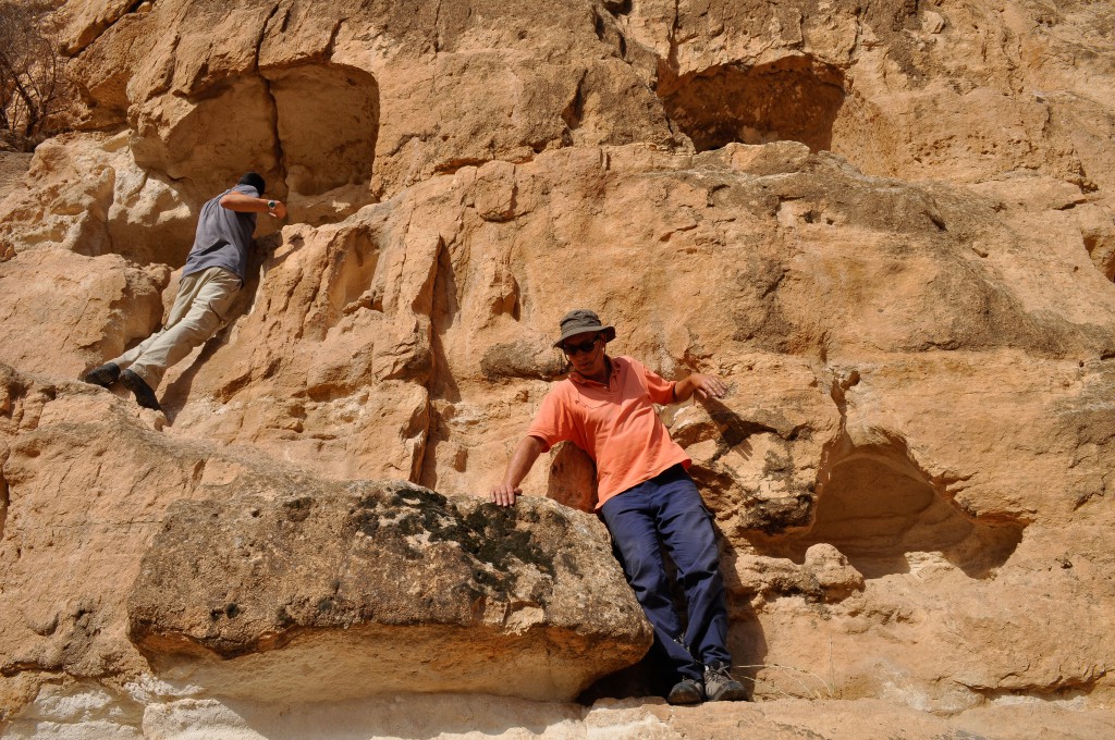
- Investigation of some rock niches
-

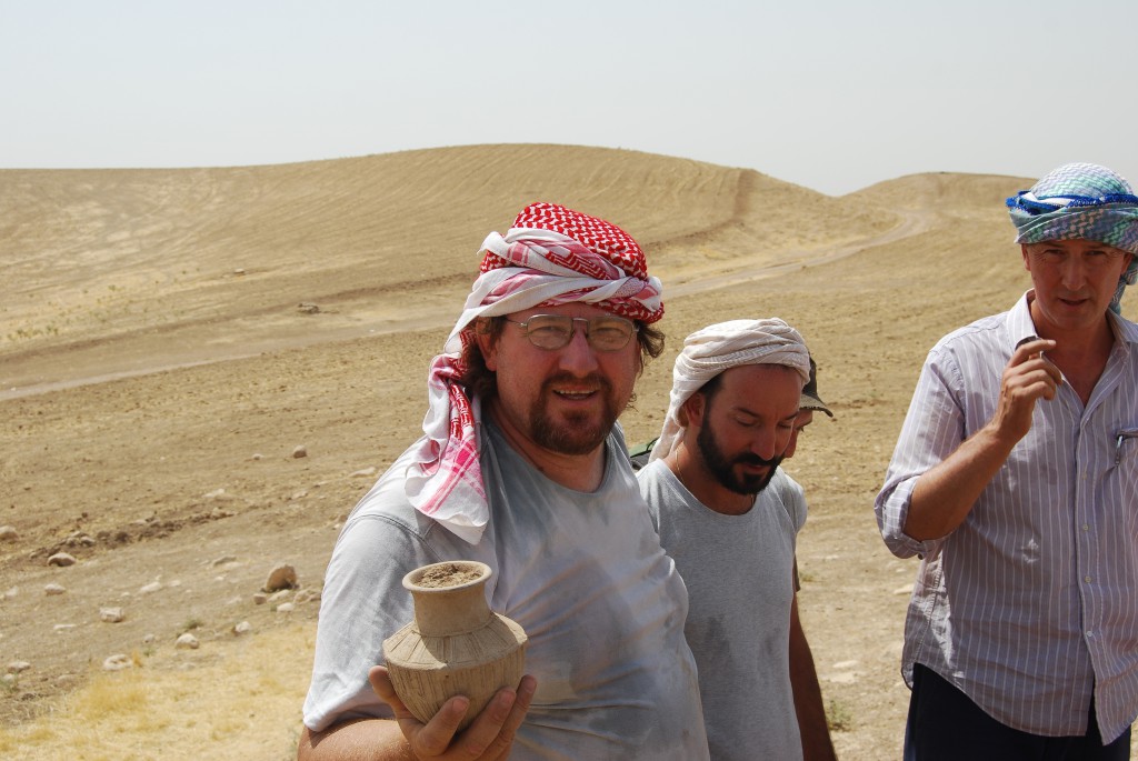
- A complete Ninevite 5 small jar found during the archaeological survey
-

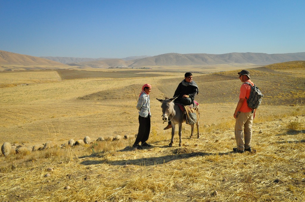
- The archaeological survey team at work
-

- Recording in the field during survey work

-

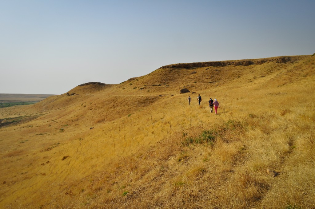
- Bandawai landscape