The site of Tell Gomel stands in the heart of the Navkur Plain, an alluvial plain that lies south of the Erbil-Dohuk road, between Jebel Maqloub and the Bardarash region and the Al-Khazir River to the east.
The focal point of settlement throughout the Navkur Plain was the urban site of Tell Gomel, located on the River Gomel near the modern town of Kalakchi, which probably corresponds to the Assyrian Gammagara (referred to in the Jerwan B Inscription of Sennacherib as an “URU”, a city).
The preliminary survey of the Tell Gomel site conducted by LoNAP documented the existence of a settlement sequence ranging from the Chalcolithic to the Ottoman period (c. 5000 BC- early 20th century AD), but presumably with also Pottery Neolithic levels. The site, which now covers a total area of about 16 ha, features an elevated upper town (about 40 m above the surrounding plain) that dominates an extensive lower town. Due to its large size and position in the centre of the plain, Gomel must undoubtedly have played an important role in this region – presumably as its political and economic centre.
The area around Gomel is of great interest because of its central position in the Navkur Plain, the most intensively settled landscape in the LoNAP area. This territory, with abundant water and fertile soils, constituted a trade-route hub from the Late Chalcolithic onwards. In later periods the area was strategic for commercial routes, but also for military transit and – in the case of the Neo-Assyrian empire – for communications between the Turkish Upper Tigris regions rich in resources and the principal Assyrian cities.
Furthermore, Sir Aurel Stein in his Limes Report (1938-1939, published in 1985) proposed that the battlefield of Gaugamela was in the plain surrounding Tell Gomel, where in 331 BC Alexander the Great defeated Darius III, thus definitively conquering the Persian Empire. An excavation here will throw light on its long settlement history and yield well-stratified typological series of pottery, lithics and other archaeological artefacts, that will also be dated absolutely by means of a programme of radiometric date determinations. This will give us stratigraphic and typological reference sequences, enabling us to better identify the surface finds gathered during survey work, refine the dating of surveyed sites and thus produce more reliable distribution maps of sites divided according to chronological period.
-

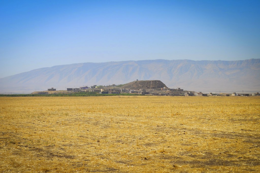
- Tell Gomel in the summer
-

- The high mound of Tell Gomel

-

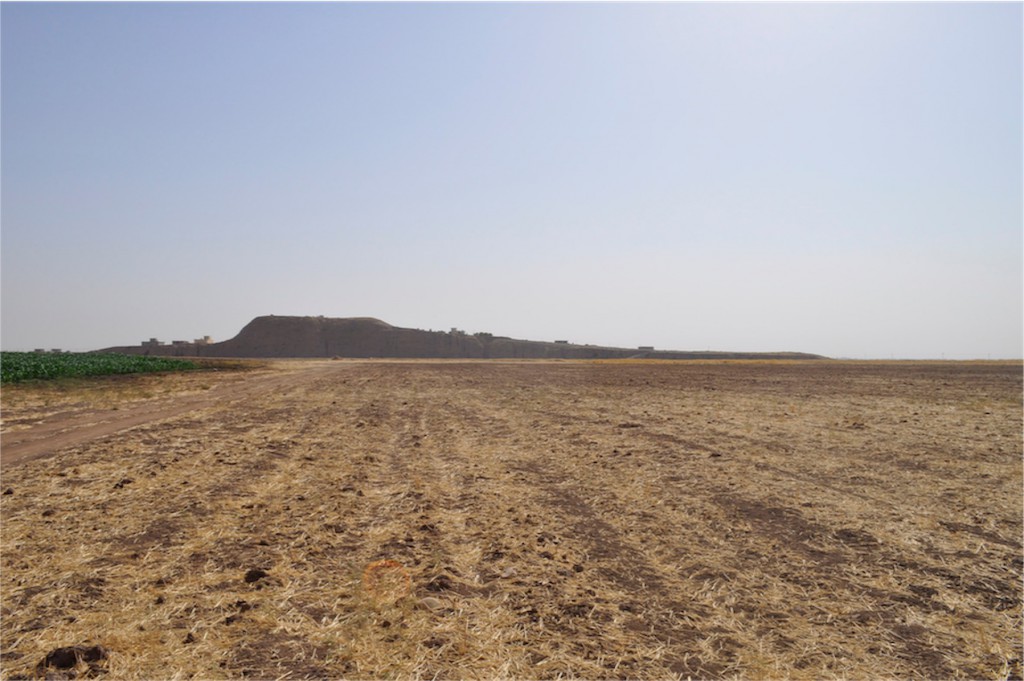
- A view of the tell from the west side
-

- The riverbed of the Gomel during summer
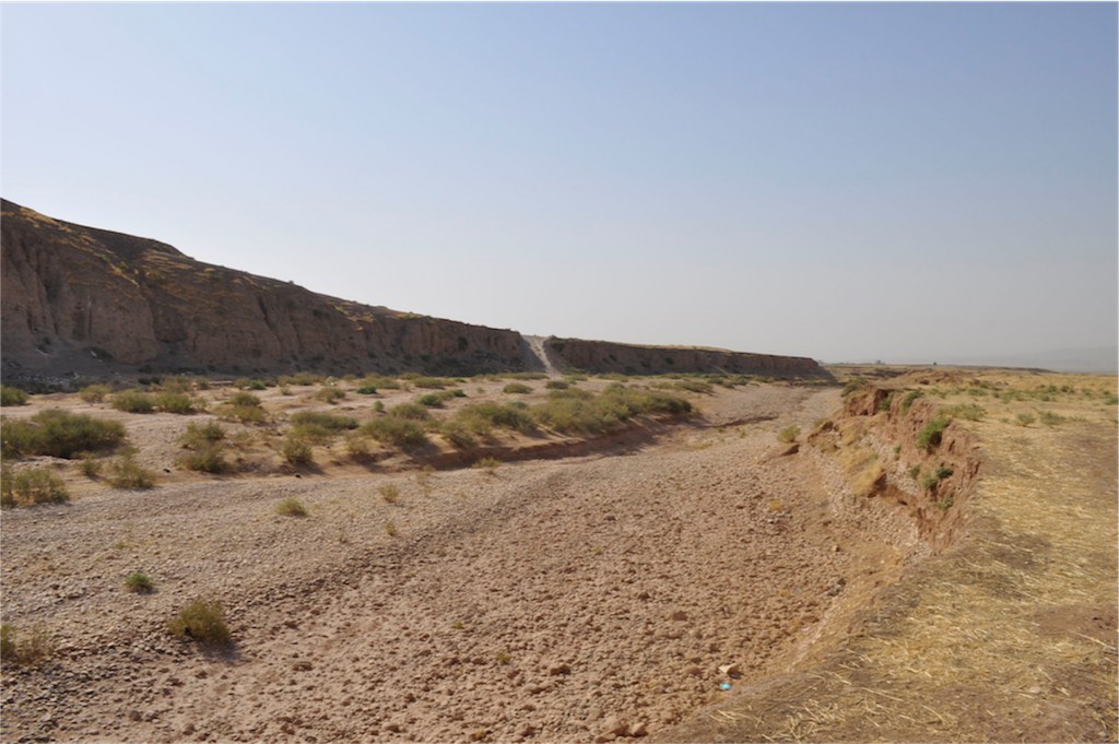
-

- Tell Gomel during springtime
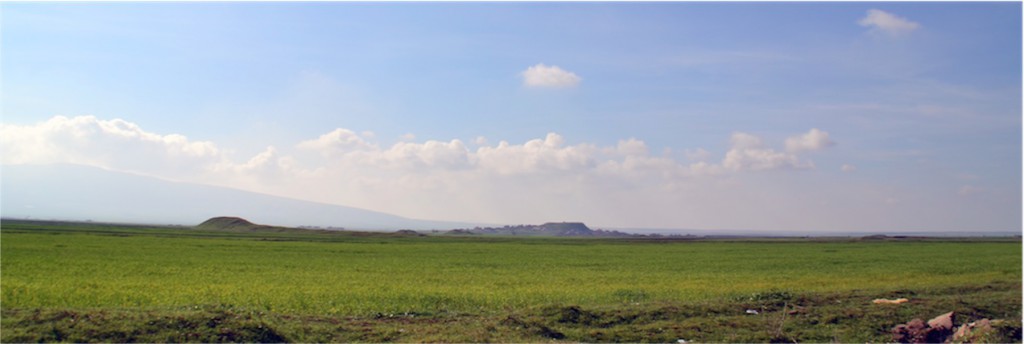
-

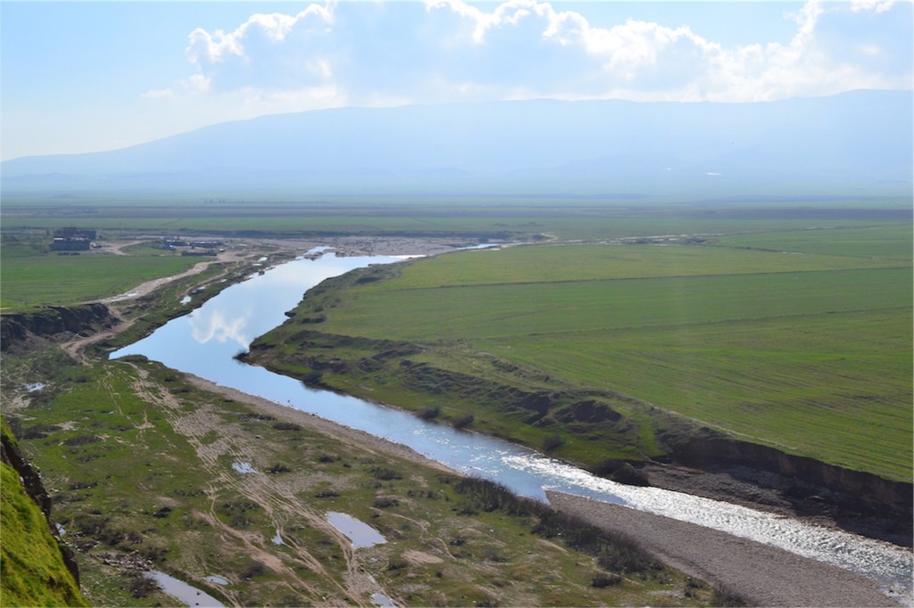
- The Navkur Plain and the Gomel during springtime